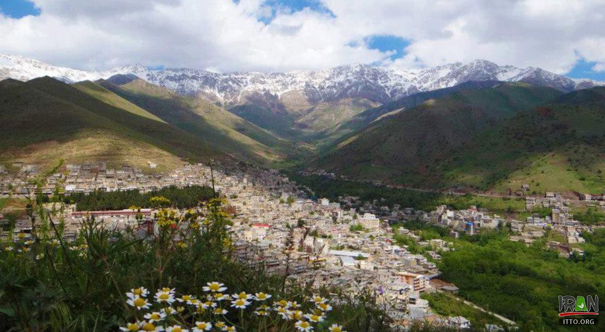
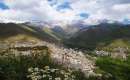
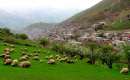
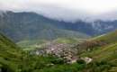
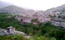
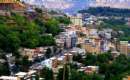
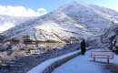
Paveh is located in the Oramanat Mountainous region and to the extreme northwest of Kermanshah province. From the west it is limited to Iraq. Paveh has cold winters and temperate summers. The small mountainous city of Paveh is to the northwest of Kermanshah and located at a distance of 636 km. from Tehran.
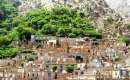
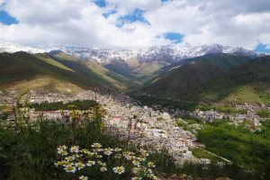
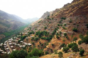
The surrounding mountains are normally filled with fresh spring water from March to June. The town is also encircled with large fruit gardens which create a beautiful scenery during summers. Paveh is situated along a mountainside like most cities and villages in the Hewraman region.
The name of Paveh is attributed to Paveh, one of the commanders of Yazdgerd III, who in order to seek the Kurd support settled in this region and was extremely respected by the people of this territory. The Dej and Pasgah forts which have remained since then are the relics of that era. The word Oramanat (Uramanat or Hewramanat) is derived from the word Uortan or Uorman and related to sacred Zoroastrian anthems.
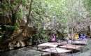
Paweh is established among mountains on Zagros Mountains. The mountain chain of Shaho is located in the west of Paweh. Shaho is the highest mountain in Kermanshah with the elevation of 3390. Sirwan River is one of the biggest rivers in Paweh. It rises near Sanandaj, in the Zagros Mountains of Iran. It then descends through the mountains, where for some 32 km it forms the border between the two countries. It finally feeds into the Tigris below Baghdad. Navigation of the upper reaches of the Diyala is not possible because of its narrow defiles, but the river's valley provides an important trade route between Iran and Iraq.
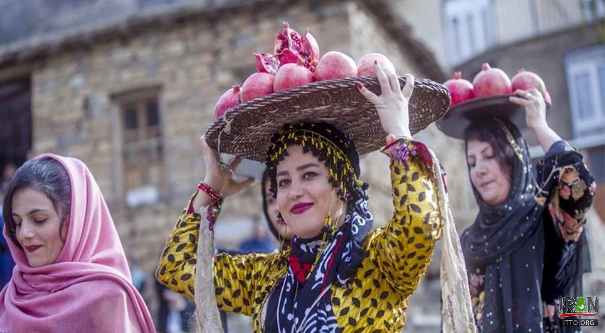
The inhabitants of Paveh are mostly Kurds that speak Auramani (Hewrami)
")

")
")

")
")
")
")

")
")

")
")
")
")
")


 Loading... Please wait


")
 - Kermanshah")
")


")
")
")
 Please wait